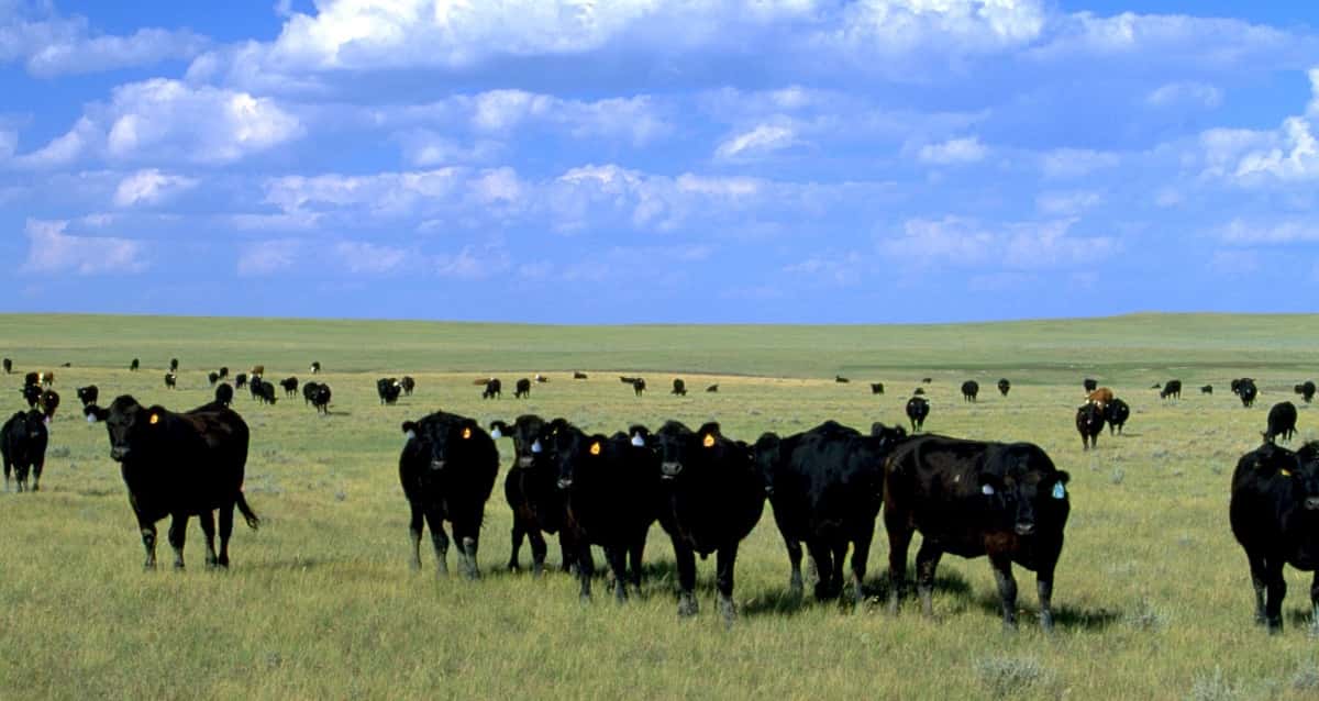
The Bureau of Land Management announced the launch of a new web‑based map tool designed to connect ranchers with information on vacant grazing allotments on public lands available for targeted prescribed grazing. The tool supports the agency’s broader effort to improve rangeland health, reduce invasive weeds, and lower the risk of wildland fire across the West.
“Recent wildfires have hit farmers and ranchers in western Nebraska especially hard, threatening their communities and livelihoods. The BLM is stepping up to support affected producers as they confront the devastating impacts of these historic fires,” said Acting BLM Director Bill Groffy. “Through this new web tool, we are connecting displaced producers with grazing options on public lands, offering urgently needed opportunities to keep their operations moving forward while also protecting our nation’s food supply and reducing future wildfire risk.”
The web-based map allows ranchers to efficiently locate vacant allotments on public lands suitable for targeted prescribed grazing and provides easy instructions to apply for a permit. Prescribed grazing can strategically lower wildfire fuel loads, suppress invasive weeds, and promote healthier, more resilient public lands.
The BLM is coordinating with federal partners to identify more vacant areas that may be suitable for grazing, expanding the options available to producers over time. The public is encouraged to check back soon for additional opportunities. All lands identified in the new tool have been evaluated for forage, land health conditions, and suitability for sustainable grazing.
This effort is associated with the Grazing Action Plan MOU signed between DOI and USDA.
